Mahaska is located twelve miles north of U.S. Highway 36 via county road.
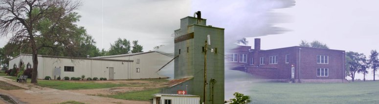
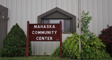
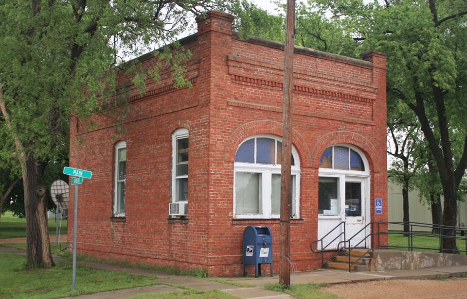
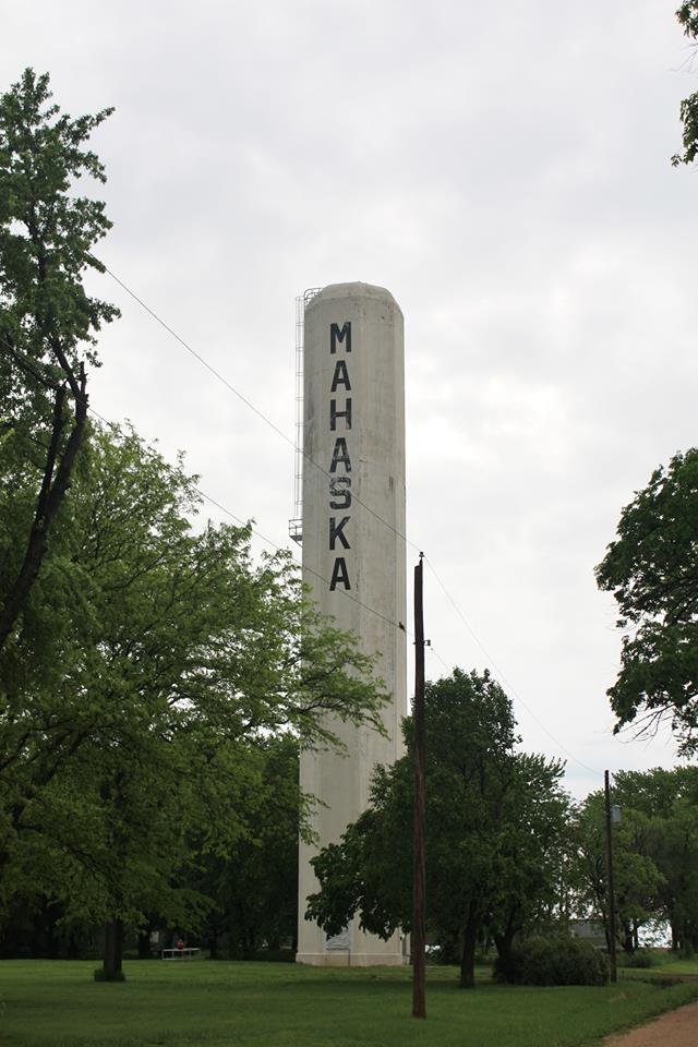
Our Beginning: Mahaska was founded in 1887 by L. Bonham. Mahaska is the Indian version of the name White Cloud II, meaning "White Swan." White Cloud II was a chief of the Prairie Sioux.
The Sixth Principal Meridian
or 40th Parallel Marker came about on May 30, 1854, as Congress agreed to establish and survey the Kansas and Nebraska territories. This surveyor's point is the site from where more than 200 million miles of land was surveyed.
Surveyor's Monument Located one mile west and one mile north of Mahaska is the Surveyor's Monument.
Originally marked in 1856, this site was the beginning point for land surveys for all land in Kansas, Nebraska, three-fourths of Colorado, most of Wyoming and a small part of South Dakota.
The original marker was discovered in 1976, and a new monument was dedicated in 1987.